Focus Area Dropdown Menu
Aging
Early Learning
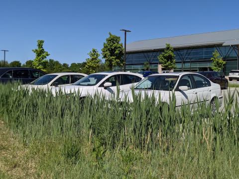
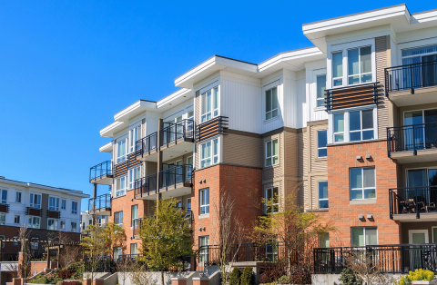
Economy & Housing
Environment
Health
Local Government
Safety & Security
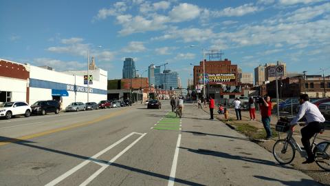
Transportation
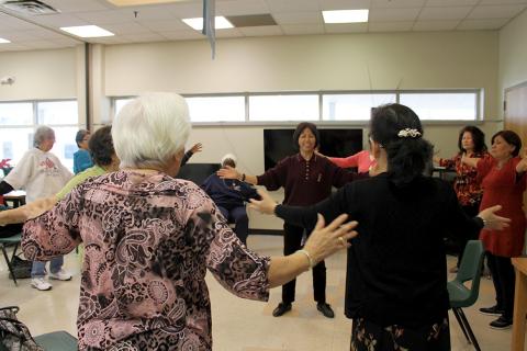


Health

Improving health outcomes through nutrition and mental and physical health supports
Go to HealthLocal Government
Helping cities and counties work more efficiently and effectively
Go to Local GovernmentSafety & Security

Coordinating effective emergency services and a reliable 911 system across boundaries
Go to Safety & SecurityTransportation

Working toward a safe, balanced and equitable transportation system
Go to Transportation