Aerial Photography Project

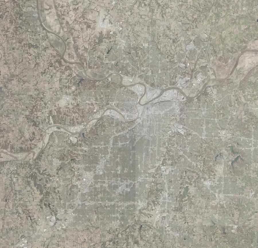
Aerial image of the Kansas City region

Every two years, MARC coordinates a regional aerial photography project among GIS professionals from cities and counties in the Kansas City region to acquire new aerial photography. Working together, member communities obtain aerial data at a fraction of the cost they would pay individually.  

The final product is 6-inch ortho-rectified imagery for the Kansas City region. The coverage extent varies from flight to flight based on participation. Partial coverage of a county is the result of the cities participating, but not the county.  

The imagery workgroup is a subcommittee under KC Metro GIS, a committee focused on spatial data. KC Metro GIS coordinates activities, shares resources, and works toward common goals for data and GIS at the regional level.  

Imagery is a core base layer used by GIS staff, appraisers and planning departments of jurisdictions across the region. As a base layer, it is used to verify the currency and accuracy of building footprints, address points, trails and road centerlines. New housing subdivisions, commercial development and highway, road or trail projects may be discovered or verified with updated imagery. 

MARC GIS staff, in cooperation with a workgroup designated by KC Metro GIS, facilitates the bid process, contracting and cost-sharing between the local governments. Planning for the project begins in the summer. Vendor review, selection and contracting occurs during the fall and early winter. The flight window for acquisition is a relatively short period between mid-February through late March when the sun angle is suitable, and leaves are still off the trees. The final delivery of the imagery occurs six months from the point of acquisition after the vendor post-processes the raw imagery into an ortho-rectified product. MARC's GIS team provides project management and process facilitation throughout the entire project lifecycle. 

For more information, contact us